| Subpages to nswidlflora.ca/Links/Point Pleasant Park |
THE ANNOUNCEMENT
Member’s Meeting Outdoors Point Pleasant May 27, 6:30pm
The next and final meeting (until next fall) for the Nova Scotia Wild Flora Society will be outdoors, rain or shine, at Point Pleasant Park in Halifax on Monday May 27 at 6:30pm. Please meet us at the Prince of Wales Martello Tower, shown on the map.
PPP (Point Pleasant Park, 77 ha) is owned by the British Government, but the park is administered by the Department of Canadian Heritage while the Halifax Regional Municipality holds the lease. The municipality pays 1 shilling annually for the lease.
PPP was largely a closed canopy mature evergreen forest until Hurricane Juan hit shores of PPP in Sep 2003, leaving only a few groves untouched. An extensive public consultation was held in 2005 in which the many respondents expressed a desire for “Nature dominated landscape, Natural beauty, a place to connect with local history, a non-commercial park…” The Point Pleasant Park Comprehensive Plan was released in 2008 with a goal “To create a naturalized forest ecosystem”; it was widely applauded. In 2019, a tree-thinning program was begun, the objectives being to cut out invasive tree species such as Norway Maple, and to “thin out the weaker trees”. The final stage of thinning will begin this fall.
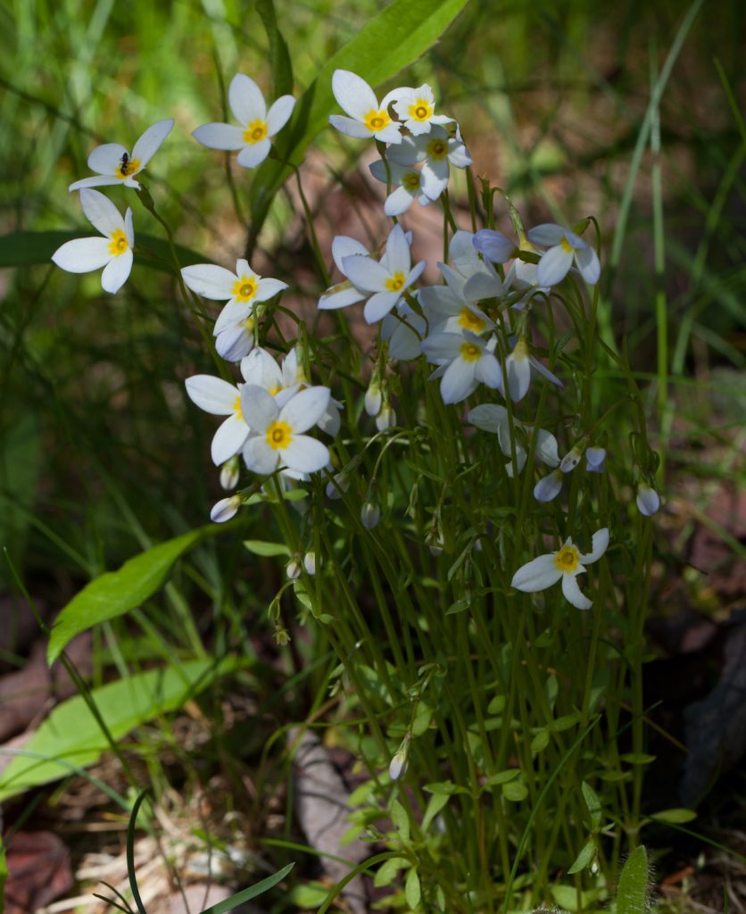
After discussing the member business at 6:30, we will look at vegetation in thinned and unthinned areas – there will be lots of spring flowering plants!
Some of us may arrive before 6:30 to scout around the park before the meeting.
AA FEW PHOTOS
Photos by David P
Click on images for larger versions
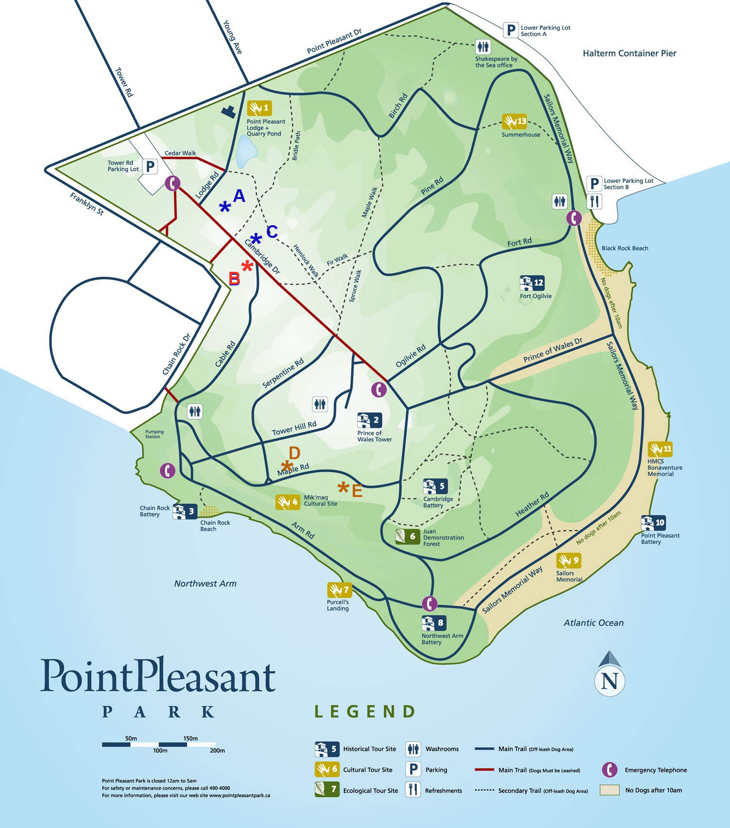
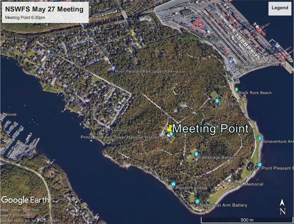
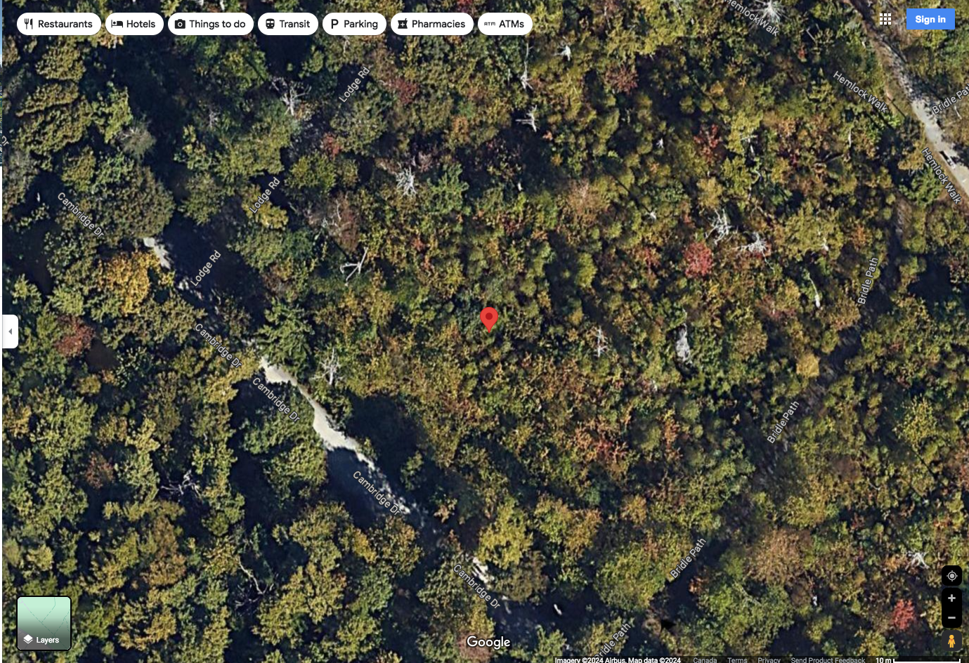
Approx. Locations of Photos on May 27, 2024. Blue: Thinned in 2020. Red: Not thinned (Not blown down by Juan). Orange: Scheduled to be thinned Fall 2024. Base Map from HRM. Area A,B,C examined 5-6 p.m., Areas D, E 7-8 p.m. May 27, 2024.
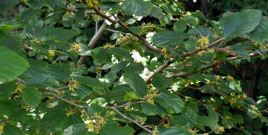
Area Thinned 2020 (Pos A on Map above), about 30 m from road; observed early evening May 27, 2024. Area was largely blow down during Hurricane Juan.
GPS location for prev, and next pic (Pos A on Map)
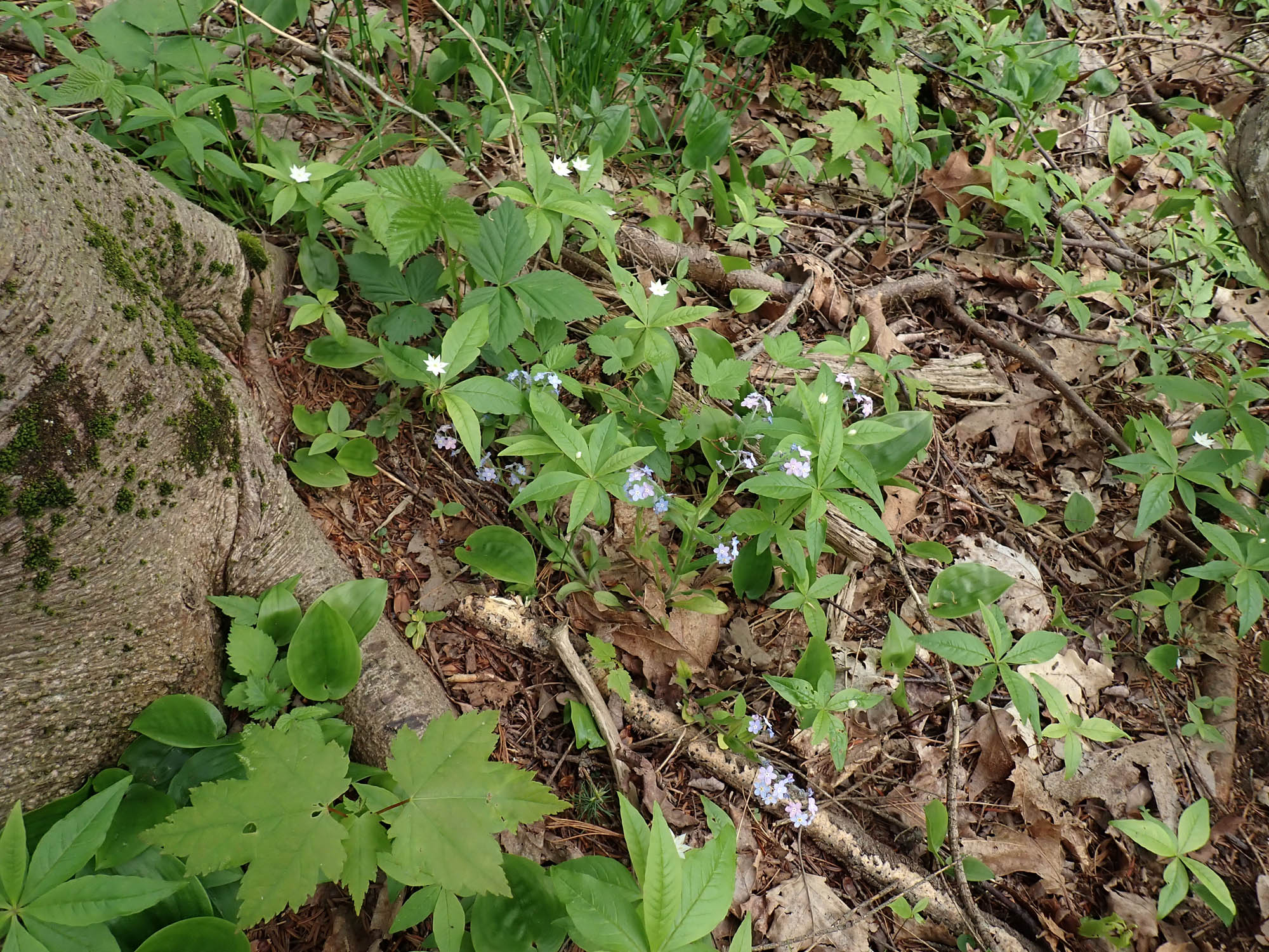
Rubus sp., Starflower (Trientalis borealis), Wild Lily of the Valley (Maianthemum canadense), Red Maple (Acer Rubrum), Forget-me-Not (Myosotis scorpioides, an exotic species) in area thinned 2020, approx. 30 m from road (Pos A on Map). Area was largely blow down during Hurricane Juan. Pic on early evening May 27, 2024
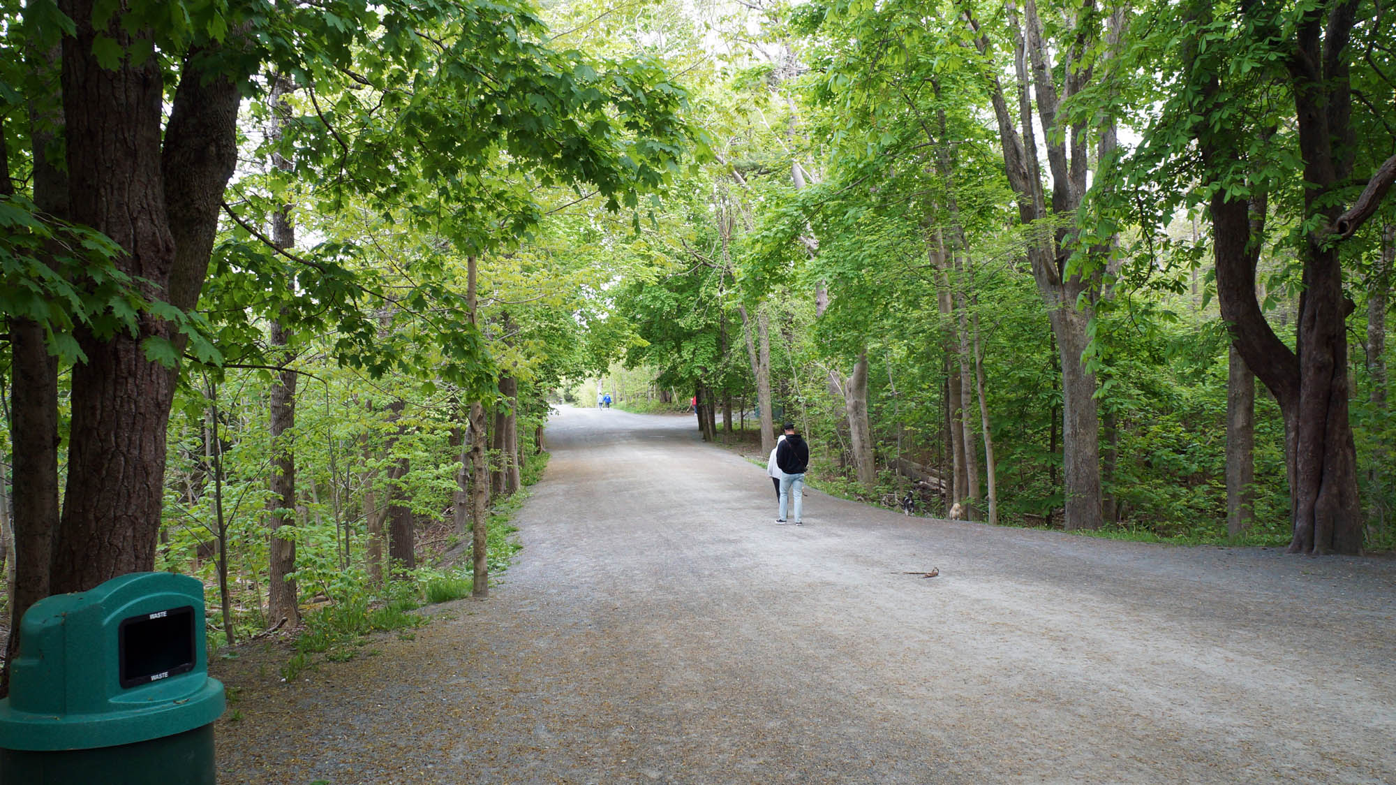
On Road (Cambridge Drive), heading into PPP. To the right area not blown down by Hurricane Jaun, and not thinned (Pos. B on map). To the left: Thinned in 2020 (Area C on Map). Pic on early evening May 27, 2024
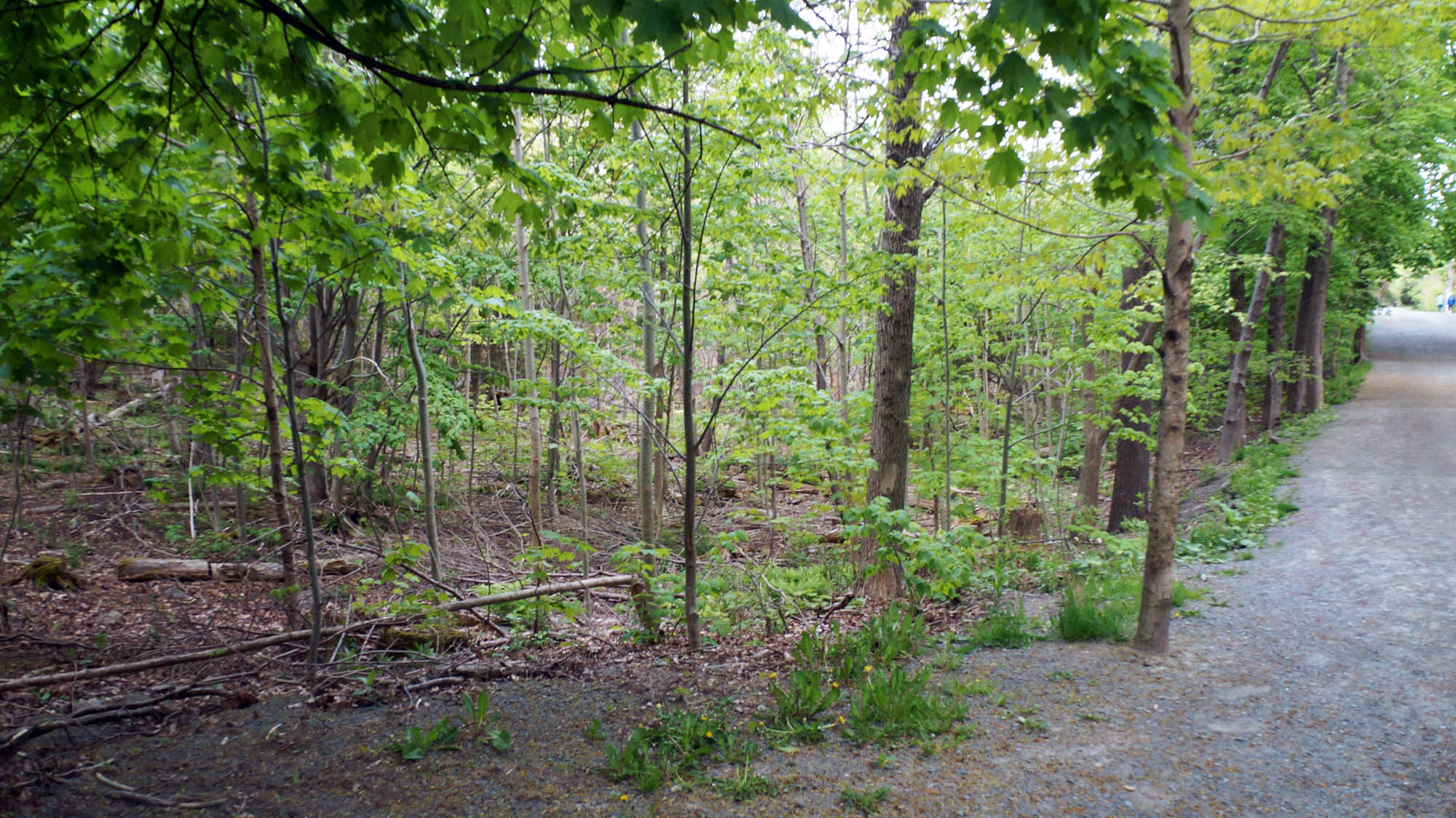
Area C on Map (Thinned 2020). Pic on early evening May 27, 2024. Area was largely blow down during Hurricane Juan.
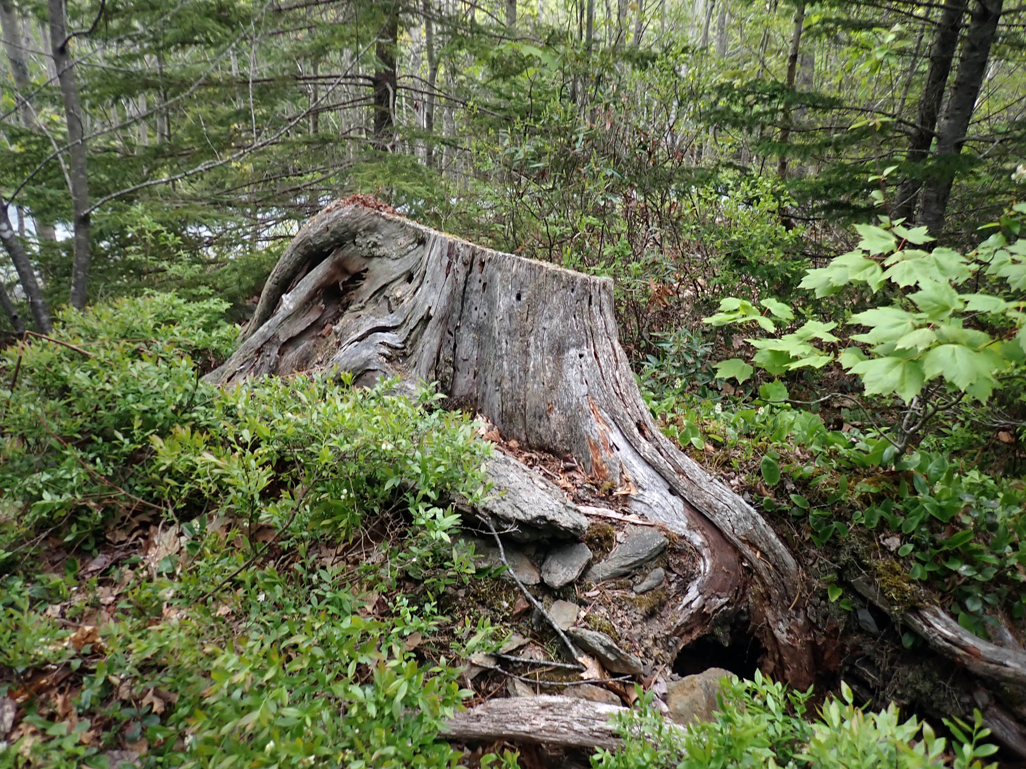
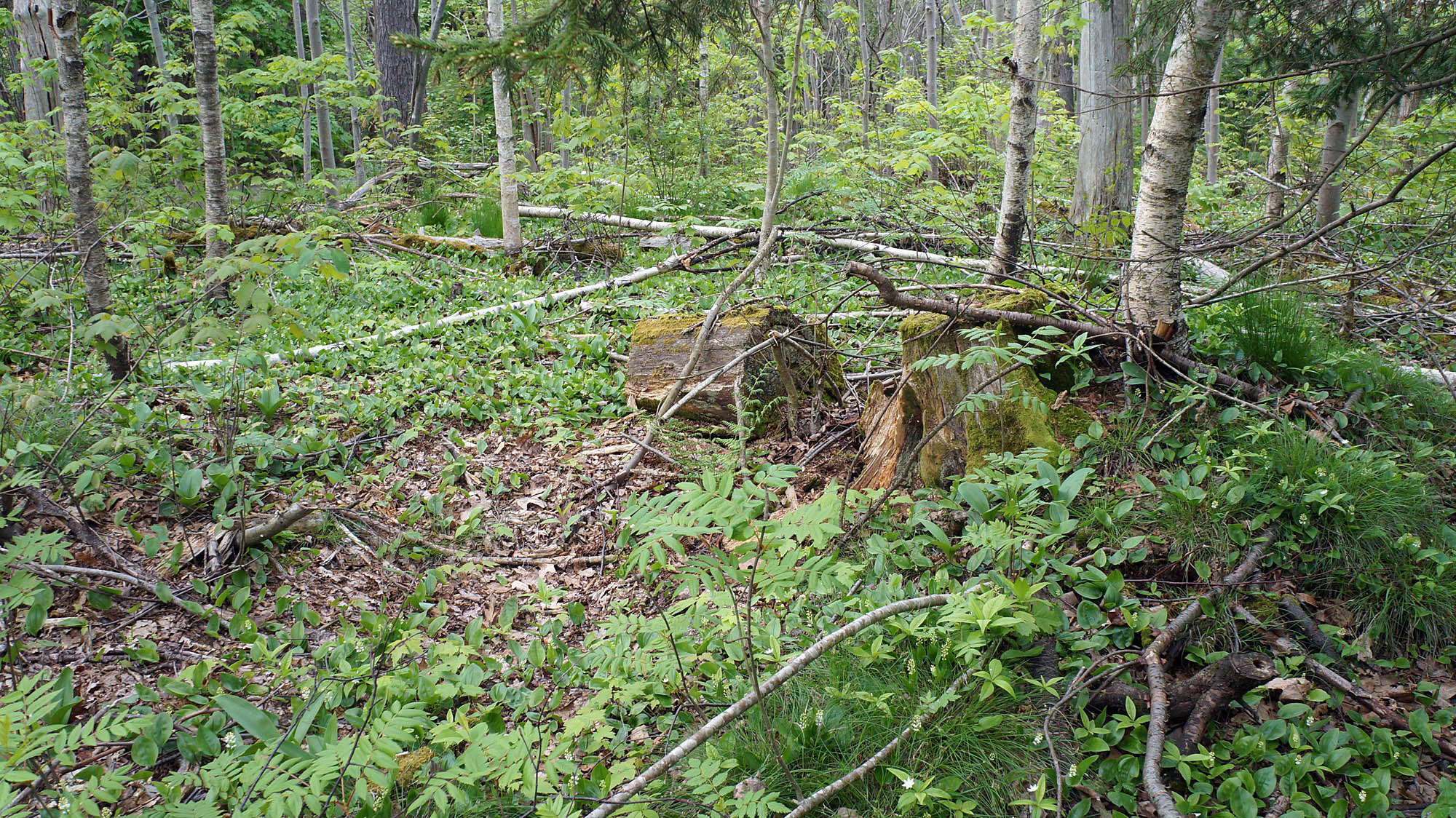
In Un-thinned area (Area D on Map). Tree likely cut following blowdown by Hurricane Juan in 2003. Area was largely blown down during Hurricane Juan; scheduled to be thinned fall 2024. Pic on early evening May 27, 2024
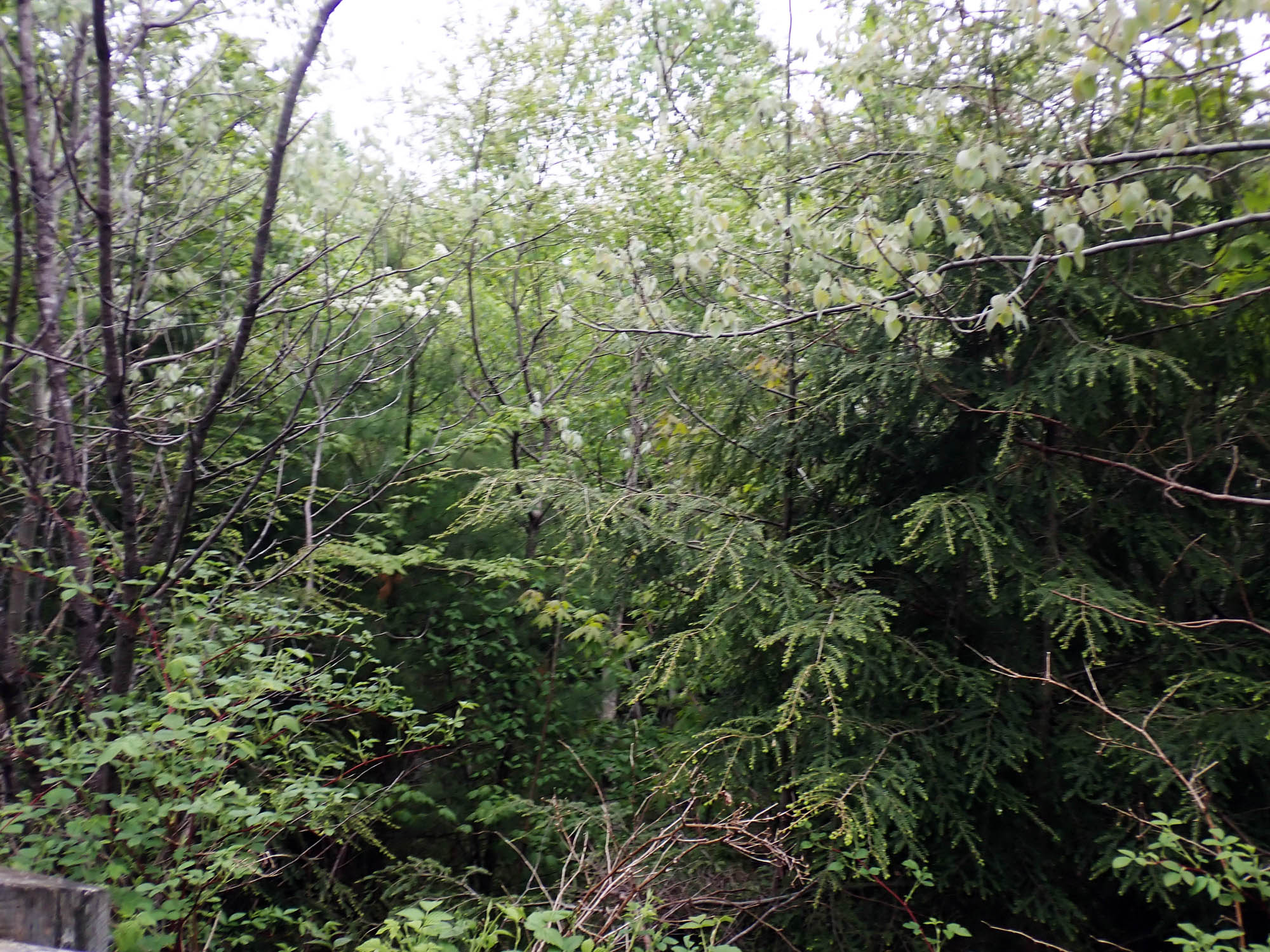
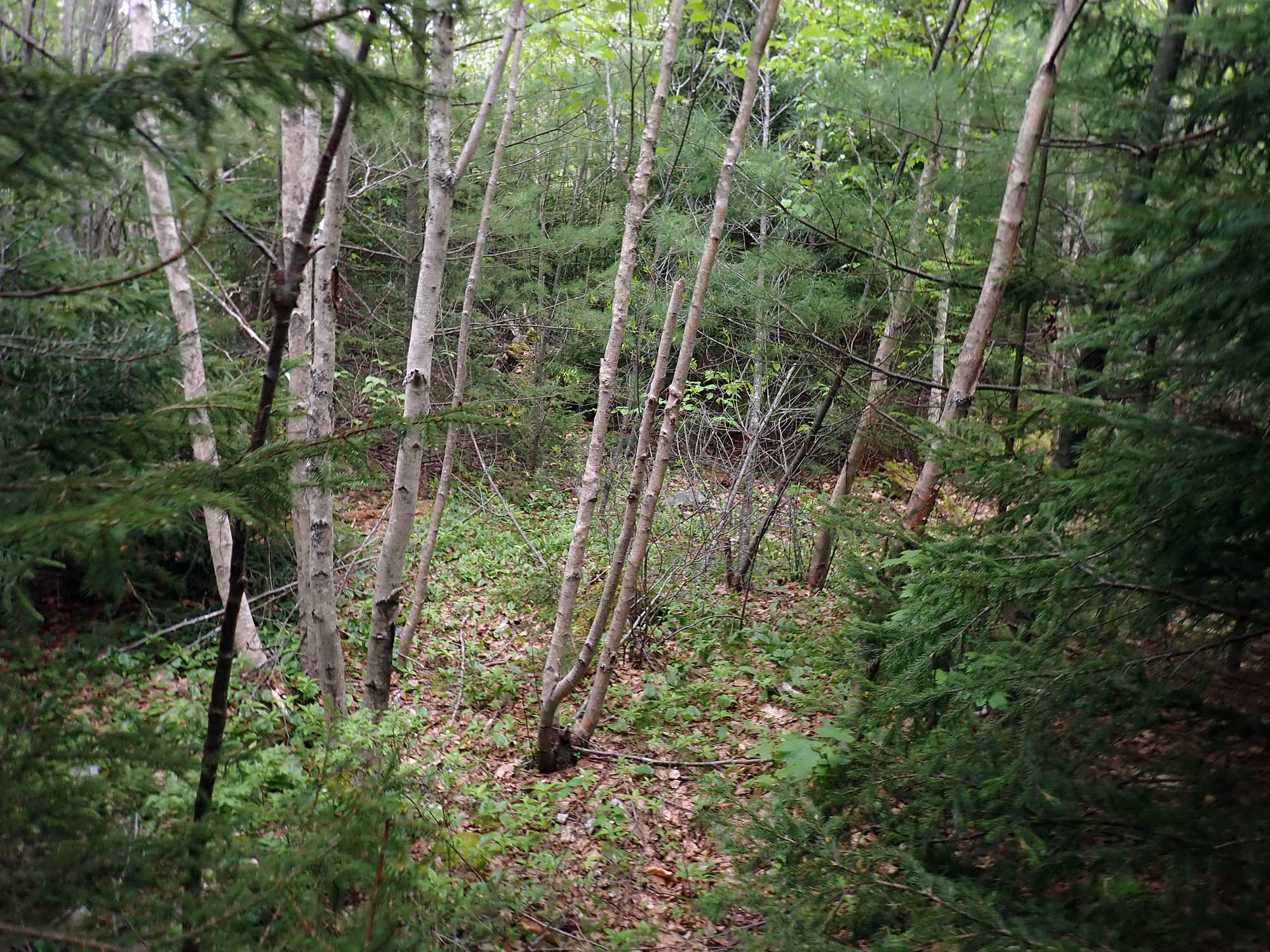
In Un-thinned area (Area E on Map). Area was largely blown down during Hurricane Juan; scheduled to be thinned fall 2024.. Pic on early evening May 27, 2024
In Un-thinned area (Area E on Map). Area was largely blown down during Hurricane Juan; scheduled to be thinned fall 2024. Pic on early evening May 27, 2024
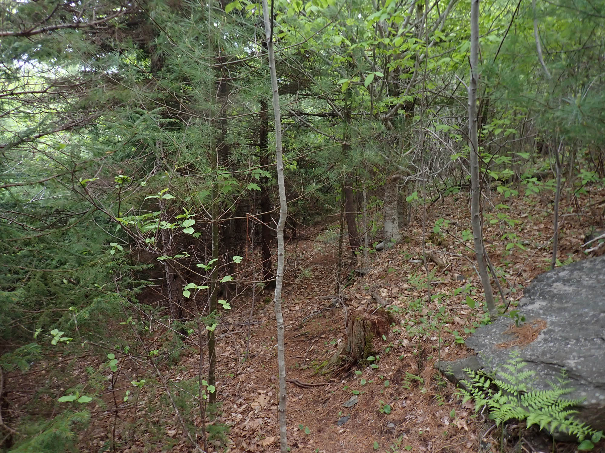
In Un-thinned area (Area E on Map), a more open area. Area was largely blown down during Hurricane Juan; scheduled to be thinned fall 2024.. Pic on early evening May 27, 2024
