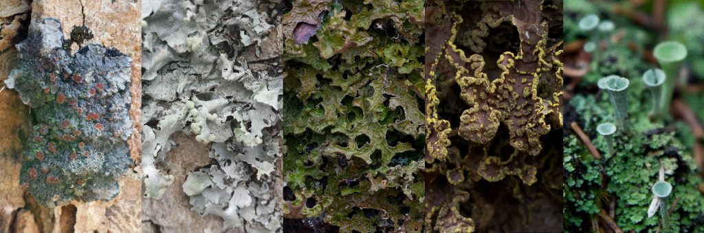
 The Nova Scotia Museum’s Natural History Field School is offering an “Introduction to Lichens” course this fall, November 9-13, 2026, in Halifax. Registration opened a couple of weeks ago and the course is filling up, but we still have about 10 spots left for any keen naturalists out there.
Course Description
This course provides an introduction and practical field experience in the diversity, identification, biogeography, and ecology of lichens. Through daily field trips, students learn to recognize unique microhabitats and what types of lichens they should expect to see. In the afternoons, students learn about lichen anatomy and morphology and practice important foundational skills such as microscopy and the use of taxonomic keys.
Who this course is for
The course provides an opportunity to obtain field and lab experience with Nova Scotian lichens. It is excellent preparation for post-secondary students who plan to conduct lichen surveys as part of their field research, or who wish to build desirable skills for employment with conservation or environmental consulting organizations. It is also good professional development for consulting or government biologists who have a role in monitoring or surveying for rare and at-risk species. The course may also appeal to dedicated amateur naturalists or citizen scientists who are seeking to dive more deeply into the world of lichen biology, or to improve the quality of their contributions to bio-blitzes, online platforms (like iNaturalist), or herbaria within their communities.
Course Prerequisites
An introductory botany or mycology course is helpful but not required.
Course Objectives/Learning Outcomes
By the end of the course, students will be able to:
Tuition rates, registration, and payment is through our Zeffy platform online.
https://www.zeffy.com/en-CA/ticketing/introduction-to-lichens
We also have a limited number of subsidized spots available for those who would be otherwise unable to attend our courses – if this is you, please reach out to the course instructor to request financial support.
Additional information can be found in this syllabus.